 vesseltracker.com
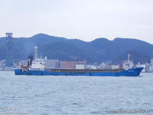
Vessel ANATOLIY IVANOV IMO: 9029712, MMSI: 273214750 General Cargo
Live Vessel ANATOLIY IVANOV Analytics (details, animations, etc.)
Live AIS position: UTC. Near Vostokmorservice), updated 2025-11-06 05:36:05 UTC.Find the position of the vessel ANATOLIY IVANOV on the map. The latter are known coordinates and path.
marine traffic ship tracker show on live map
The current position of vessel ANATOLIY IVANOV is 43.08667 lat / 131.88834 lng. Updated: 2025-11-06 05:36:05 UTCCurrently sailing under the flag of Russia
ANATOLIY IVANOV built in 2000 year
Deadweight:
2600 tDetails:
Last coordinates of the vessel:
2025-11-06 05:36:05 UTC, 43.08667, 131.88834, course: -1, speed: 0